
Fisye:EU location NED.png
Size of this preview: 800 × 600 pixels. Other resolutions: 320 × 240 pixels | 640 × 480 pixels | 1,024 × 768 pixels | 1,280 × 960 pixels | 1,600 × 1,200 pixels.
Original file (1,600 × 1,200 pixels, file size: 469 KB, MIME type: image/png)

|
This locator map image could be re-created using vector graphics as an SVG file. This has several advantages; see Commons:Media for cleanup for more information. If an SVG form of this image is available, please upload it and afterwards replace this template with
{{vector version available|new image name}}.
It is recommended to name the SVG file “EU location NED.svg”—then the template Vector version available (or Vva) does not need the new image name parameter. |
| Description |
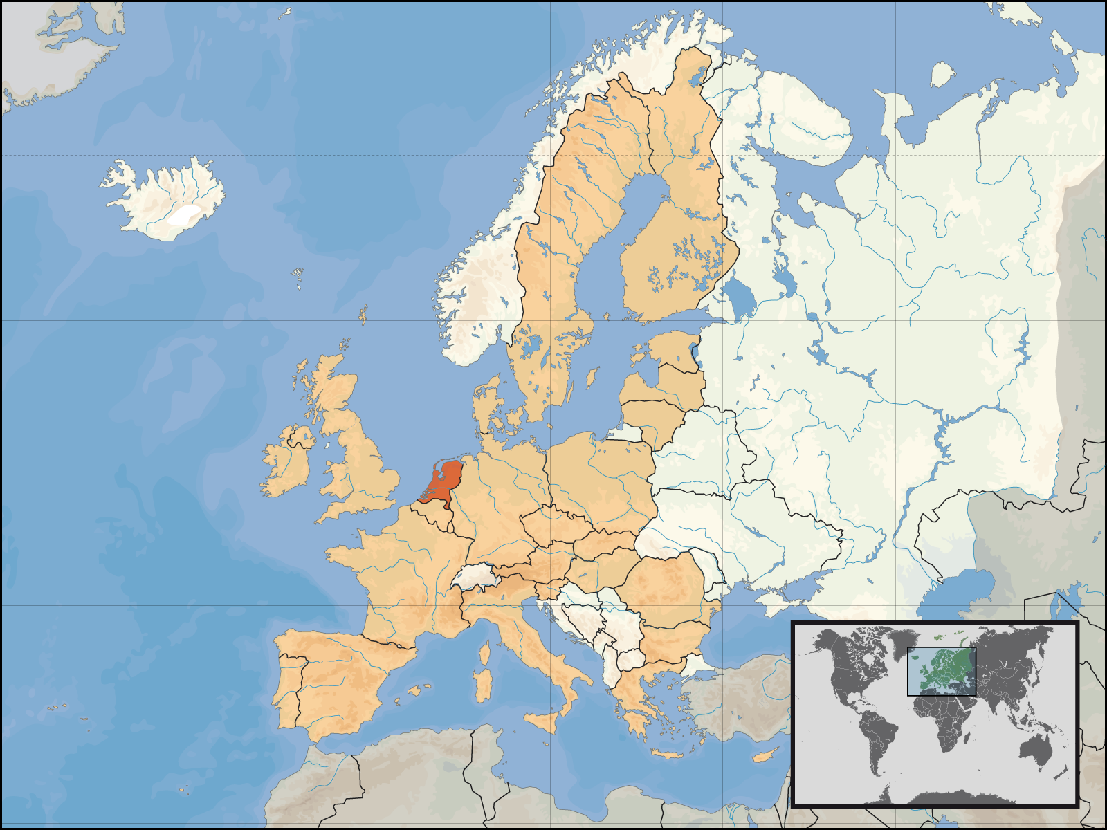
English: Location of the Netherlands within Europe and the European Union on the 1st of January 2007.
Deutsch: Lage des Königreichs der Niederlande in Europa und in der Europäischen Union am 1. Januar 2007 |
| Date | |
| Source | Own work |
| Author | David Liuzzo |
| Permission (Reusing this file) |
This file is licensed under the Creative Commons Attribution-Share Alike 4.0 International license. Attribution: David Liuzzo
|
File history
Click on a date/time to view the file as it appeared at that time.
| Kilumbu/Ngûnga | Thumbnail | Dimensions | Sadi | Comment | |
|---|---|---|---|---|---|
| bubu yayi | 20:47, 8 ngônda ya tânu 2007 | | 1,600 × 1,200 (469 KB) | Tene~commonswiki | Optimised further using DeflOpt (0;4096) |
| 19:09, 23 ngônda ya zôle 2007 |  | 1,600 × 1,200 (526 KB) | Tene~commonswiki | Optimised (0) | |
| 02:53, 1 ngônda ya ntete 2007 |  | 1,600 × 1,200 (711 KB) | David Liuzzo | {{Information| |Description= {{de|Lage des Königreichs der Niederlande in Europa und in der Europäischen Union am 1. Januar 2007 }} {{en|Location of the Netherlands within Europe and |
File usage
The following page uses this file:
Global file usage
The following other wikis use this file:
- Usage on as.wikipedia.org
- Usage on av.wikipedia.org
- Usage on ay.wikipedia.org
- Usage on bh.wikipedia.org
- Usage on bn.wikipedia.org
- Usage on crh.wikipedia.org
- Usage on da.wikipedia.org
- Usage on de.wiktionary.org
- Usage on dv.wikipedia.org
- Usage on dz.wikipedia.org
- Usage on en.wikipedia.org
- Usage on eu.wikipedia.org
- Usage on fa.wikipedia.org
- Usage on fo.wikipedia.org
- Usage on fr.wikipedia.org
- Usage on fur.wikipedia.org
- Usage on incubator.wikimedia.org
- Usage on it.wiktionary.org
- Usage on kn.wikipedia.org
- Usage on kv.wikipedia.org
- Usage on ln.wikipedia.org
- Usage on mai.wikipedia.org
- Usage on mdf.wikipedia.org
- Usage on mhr.wikipedia.org
- Usage on mk.wikipedia.org
- Usage on ml.wikipedia.org
- Usage on ms.wikipedia.org
- Usage on nap.wikipedia.org
- Usage on ne.wikipedia.org
View more global usage of this file.